Mapping the Mind: Birds, the Inuit and Urban Development

Last week I wrote about some of the maps that helped create a country. This week I want to write about maps and development here in my little bit of Canada. You see, recently I attended a City planning meeting about the planned development of said city over the next thirty years. The city planner was there to gain input to the plan, so like I am wont to do, I opened my mouth. I asked whether there were plans included for city parks that were more than playing fields. In particular I asked about retention of trees.
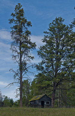
You see the city plan targeted three areas of the city for development. This meant that the areas that currently hold some of the last large acreages with the last stands of mature trees would be logged off and cut up into micro-lots of high-density houses and townhouses. If the development practices I see in other areas of this city are any indication, the landscape will be reduced to a wasteland of ticky-tacky houses and spindly trees planted so they don’t block resident’s views. The aim is to build the highest number of houses on the smallest lot, which doesn’t leave a lot of room for trees. Land costs too much.

I know, I know. People have to live somewhere, but the prospect of this loss left me so angry I felt poisoned inside. I’ve been trying to figure out how my perspectives have wandered so far into ‘radical’ territory from what now seems to be mainstream. You see, I worry about the other creatures we share this earth with. I worry about the air-cleaning capacity of the trees we’re cutting down. I worry about the birds and the squirrels and the other creatures we’ve displaced with our houses.
The worst part of the episode was that few people in the meeting seemed to share my concern.
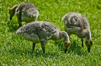
A recent survey of birds in Canada, showed a decline of 40% plus across most species. Here in B.C. the decline is 35%, but with every development permit, you can bet the bird population is a little bit less. Over the last ten years that I’ve lived here, the flocks of swallows have decreased so I see less than ten on a morning walk. In my own townhouse complex, the council is continually cutting down lovely mature trees that provide homes to song birds and safety from predatory crows and starlings, in order to improve the view of some homeowner.
So what does this have to do with maps, you’re wondering. Well I recalled reading about Inuit maps and how they are ephemeral things. Each member of an Inuit tribe builds cognitive maps that remember and recognize different things. Shamans remember where malevolent spirits dwell. Hunters carry knowledge on moving over the landscape and the sea, while the women recognized the safest campsites and the sources of berries and seaweed. When asked to draw maps of particular areas, Inuit elders drew proportions skewed with places of greater importance presented larger, and those of lesser importance, drawn smaller. Place names, unlike our western tendency to name places after historical people, are based on a location’s physical, biological or ecological significance. Their names evoke images like ‘the place where the rocks are warm from the bodies of walrus’, or convey not only that a place is flat, but also that in winter the land and sea look continuous. For the Inuit, a map is not just a representation of the world. It becomes a lens that layers meaning on a place and that meaning is carried in place names.
Right now, with the inroads of western culture on the north, the place names that made up these northern cognitive maps are being lost, and placing at risk the understanding of the relationship of the Inuit to the land they inhabit. This seems to be what has happened in this city. People have forgotten the importance of having nature around them, and thus it is being eroded away. The loss of a word, the felling of a woodlot. It happens so gradually and then the knowledge is lost and the trees and birds are gone.

I’ve come to view myself as one of the old ones that carries an old fashioned cognitive map of what my city should look like. Unfortunately no city planner understands what I’m talking about and hat no one but maybe an anthropologist or someone of my generation might understand my anger.
I wonder if the Inuit language contains a name for a silent landscape where no bird sings and all the houses look the same.


